Katako'kombe Airport
Katako'kombe Airport | |||||||||||
|---|---|---|---|---|---|---|---|---|---|---|---|
| Summary | |||||||||||
| Airport type | Public | ||||||||||
| Serves | Katako'kombe | ||||||||||
| Elevation AMSL | 1,978 ft / 603 m | ||||||||||
| Coordinates | 3°27′25″S 24°25′25″E / 3.45694°S 24.42361°E | ||||||||||
| Map | |||||||||||
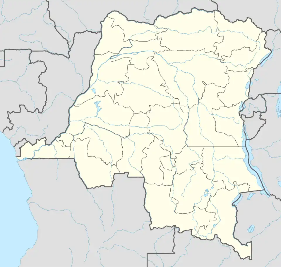 FZVG Location of the airport in Democratic Republic of the Congo | |||||||||||
| Runways | |||||||||||
| |||||||||||
Katako'kombe Airport (ICAO: FZVG) is an airstrip serving the town of Katako'kombe in Democratic Republic of the Congo. The runway is 6 kilometres (3.7 mi) south of the town.
See also
 Democratic Republic of the Congo portal
 Aviation portal
- Transport in the Democratic Republic of the Congo
- List of airports in the Democratic Republic of the Congo
References
- ^ Airport information for Katako'kombe Airport at Great Circle Mapper.
- ^ Google Maps - Katako'kombe