Grade II* listed buildings in Cumberland
There are over 20,000 Grade II* listed buildings in England. This page is a list of these buildings in the district of Cumberland in Cumbria.
It is split by the three former districts which make up the unitary authority area, Allerdale, the Borough of Copeland and the City of Carlisle.
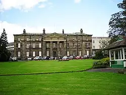
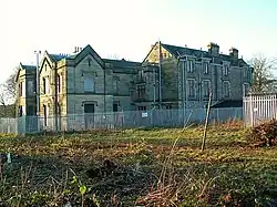
Former Allerdale District
Former Borough of Copeland
| Name | Location | Type | Completed [note 1] | Date designated | Grid ref.[note 2] Geo-coordinates |
Entry number [note 3] | Image |
|---|---|---|---|---|---|---|---|
| Cross Lacon in garden to south of Dower House | Arlecdon and Frizington | Cross | Possibly 13th century | 9 August 1984 | NY0246616680 54°32′09″N 3°30′32″W / 54.535963°N 3.508897°W |
1086720 |  Upload Photo |
| Seaton Hall with attached ruins | Bootle | House | 16th century | 8 September 1967 | SD1074789923 54°17′50″N 3°22′22″W / 54.297095°N 3.372898°W |
1086649 | Upload Photo |
| United Reformed Church and 2 attached houses to east | Bootle | House | 1780 | 14 July 1989 | SD1077688176 54°16′53″N 3°22′19″W / 54.281404°N 3.371931°W |
1252005 | Upload Photo |
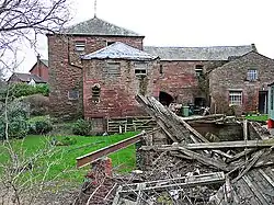
| Eskdale Corn Mill | Boot, Eskdale | Corn mill | 1578 | 21 January 1985 | NY1764201146 54°23′57″N 3°16′12″W / 54.399093°N 3.270091°W |
1086655 | 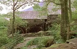 |
| Gatepiers to South of Gosforth Hall | Gosforth | Gate pier | c.1658 | 9 March 1967 | NY0716503621 54°25′10″N 3°25′56″W / 54.419524°N 3.432194°W |
1063743 | 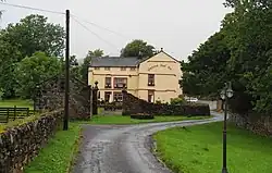 |
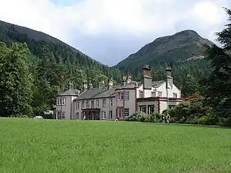
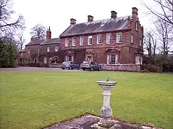
| Gosforth Hall | Gosforth | House | c.1658 | 9 March 1967 | NY0715803652 54°25′11″N 3°25′56″W / 54.419801°N 3.432311°W |
1086661 | 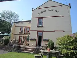 |
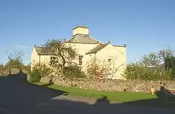
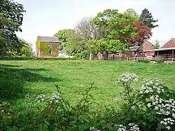
| Library and that part of Village Hall which originally constituted Denton Hill | Gosforth | House | 1628 | 9 March 1967 | NY0688403523 54°25′07″N 3°26′11″W / 54.418592°N 3.436492°W |
1336018 | Upload Photo |
| Gatehouse range to south of Haile Hall | Haile | House | 16th century or 17th century | 9 March 1967 | NY0355009096 54°28′05″N 3°29′23″W / 54.468037°N 3.489669°W |
1086615 | Upload Photo |
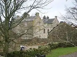
| Haile Hall | Haile | House | 1591 | 9 March 1967 | NY0357009146 54°28′07″N 3°29′22″W / 54.46849°N 3.489377°W |
1084317 | 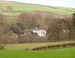 |
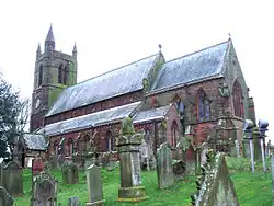
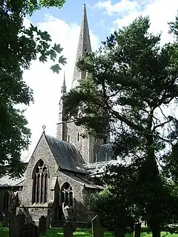
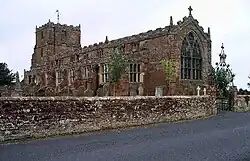
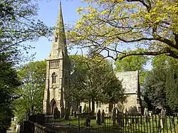
| Church of St Paul | Irton with Santon | Parish church | 1857 | 8 September 1967 | NY0916200470 54°23′30″N 3°24′02″W / 54.391575°N 3.400463°W |
1086671 | 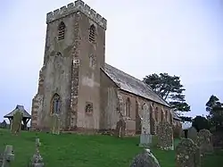 |
| Medieval tower incorporated into Irton Hall | Irton with Santon | Fortified house | 14th century | 21 January 1985 | NY1048600579 54°23′34″N 3°22′48″W / 54.392789°N 3.380112°W |
1067822 | 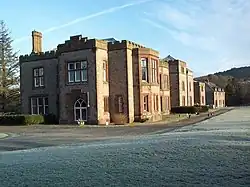 |
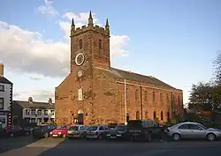
| Church of St Michael | Lamplugh | Parish church | 1870 | 9 March 1967 | NY0885720797 54°34′27″N 3°24′41″W / 54.574142°N 3.411436°W |
1086674 | 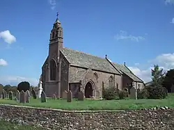 |
| Duddon Iron Furnace | Millom Without | Metal production furnace | c.1737 | 8 September 1967 | SD1966288303 54°17′02″N 3°14′08″W / 54.284021°N 3.235518°W |
1068577 | 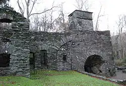 |
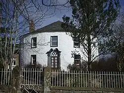
| Rosehill, house and adjoining wall | Moresby | House | Late 18th century | 9 March 1967 | NX9909820298 54°34′04″N 3°33′44″W / 54.567805°N 3.56217°W |
1086712 | Upload Photo |
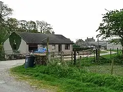
| Farm building immediately west of Cropple How Farmhouse | Muncaster | Farmhouse | Mid- to late 15th century | 27 February 2009 | SD1285497743 54°22′04″N 3°20′34″W / 54.36772°N 3.342821°W |
1393157 | Upload Photo |
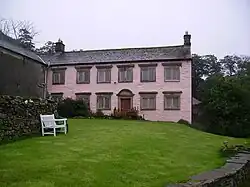
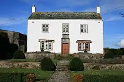
| Pelham House | Ponsonby | House | c.1780 | 14 July 1989 | NY0378105753 54°26′17″N 3°29′06″W / 54.438048°N 3.485018°W |
1356190 | Upload Photo |
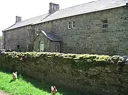
| Manor Stead and house adjoining to north | St Bees | House | Pre-1517 | 9 March 1967 | NX9714311875 54°29′30″N 3°35′22″W / 54.491744°N 3.589452°W |
1086684 | 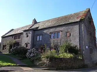 |
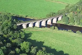
| Pow Bridge over Pow Beck | St Bees | Road bridge | 1585 | 9 August 1984 | NX9701312028 54°29′35″N 3°35′29″W / 54.493092°N 3.591511°W |
1137347 |  |
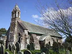
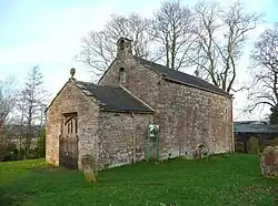
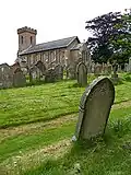
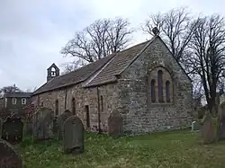
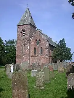
| Church of St Bridget | St Bridget Beckermet | Church | Medieval | 9 March 1967 | NY0149406066 54°26′26″N 3°31′13″W / 54.440421°N 3.52037°W |
1086588 |  |
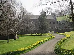
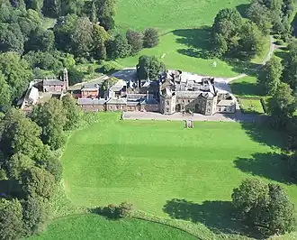
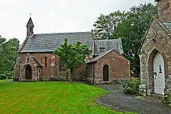
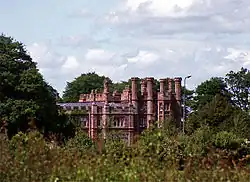
| Gatehouse to Calder Abbey | Calder Abbey, St. Bridget Beckermet | Abbey | Probably 14th century | 14 July 1989 | NY0496006396 54°26′39″N 3°28′01″W / 54.444047°N 3.467054°W |
1086629 | Upload Photo |
| The Monks Oven | Calder Abbey, St. Bridget Beckermet | Abbey | Uncertain | 14 July 1989 | NY0520506468 54°26′41″N 3°27′48″W / 54.444739°N 3.4633°W |
1068656 | 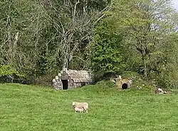 |
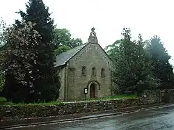
| Church of St John | Ulpha | Parish church | 17th century | 8 September 1967 | SD1980493246 54°19′42″N 3°14′05″W / 54.328457°N 3.234666°W |
1068873 | 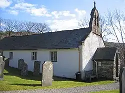 |
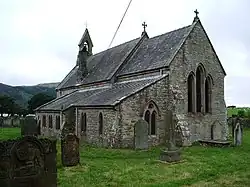
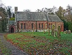
| Church of St John | Waberthwaite | Parish church | 13th century | 8 September 1967 | SD1002695116 54°20′37″N 3°23′08″W / 54.343626°N 3.38554°W |
1086644 | 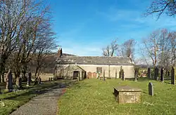 |
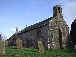
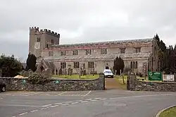
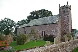
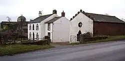
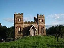
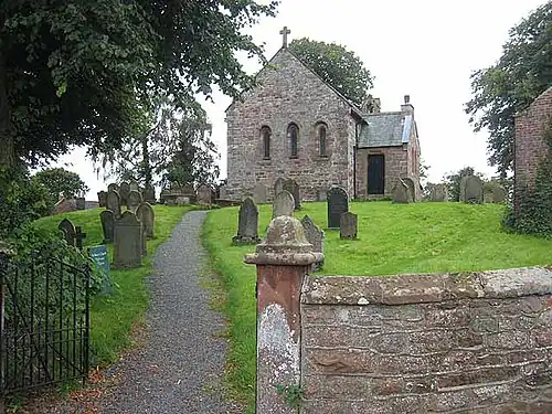
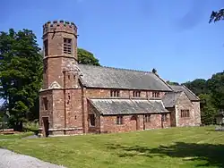
| Church of St Michael and All Angels | Nether Wasdale, Wasdale | Parish church | 15th century | 21 January 1985 | NY1248404074 54°25′28″N 3°21′01″W / 54.424538°N 3.350382°W |
1343668 | .jpg) |
| Nether End Farmhouse | Weddicar | Farmhouse | 1624 | 9 March 1967 | NX9954416071 54°31′48″N 3°33′14″W / 54.52992°N 3.55383°W |
1137431 | Upload Photo |
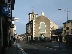
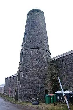
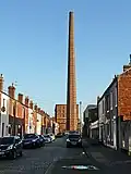
| Barracks Mill | Whitehaven | Fireproof factory | 1809 | 13 September 1972 | NX9736417813 54°32′42″N 3°35′17″W / 54.545132°N 3.588111°W |
1038943 | .jpg) |
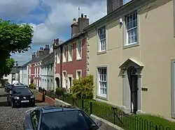
| No 151 Queen Street (including Area Railings) | Whitehaven | House | Georgian | 20 July 1949 | NX9729417972 54°32′48″N 3°35′21″W / 54.546546°N 3.589248°W |
1086737 | 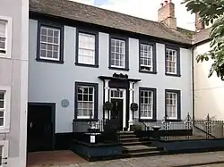 |
| Somerset House | Whitehaven | House | 18th century | 20 July 1949 | NX9768418125 54°32′53″N 3°35′00″W / 54.548°N 3.583275°W |
1086776 |  |
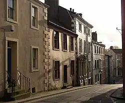
| 44, 45 Roper Street | Whitehaven | House | Georgian Gothic | 13 September 1972 | NX9731618002 54°32′49″N 3°35′20″W / 54.54682°N 3.588918°W |
1336017 | 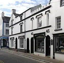 |
| 14 Scotch Street | Whitehaven | House | Mid-18th century | 20 July 1949 | NX9747117949 54°32′47″N 3°35′11″W / 54.546375°N 3.586505°W |
1335979 | 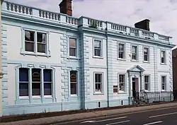 |
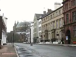
Former City of Carlisle district


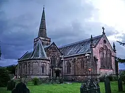
_-_geograph.org.uk_-_1564435.jpg)


Notes
- ^ a b c The date given is the date used by Historic England as significant for the initial building or that of an important part in the structure's description.
- ^ a b c Sometimes known as OSGB36, the grid reference is based on the British national grid reference system used by the Ordnance Survey.
- ^ a b c The "List Entry Number" is a unique number assigned to each listed building and scheduled monument by Historic England.