Basengele Airport
Basengele Airport | |||||||||||
|---|---|---|---|---|---|---|---|---|---|---|---|
| Summary | |||||||||||
| Airport type | Public | ||||||||||
| Serves | Bokote | ||||||||||
| Elevation AMSL | 1,309 ft / 399 m | ||||||||||
| Coordinates | 1°51′40″S 17°57′40″E / 1.86111°S 17.96111°E | ||||||||||
| Map | |||||||||||
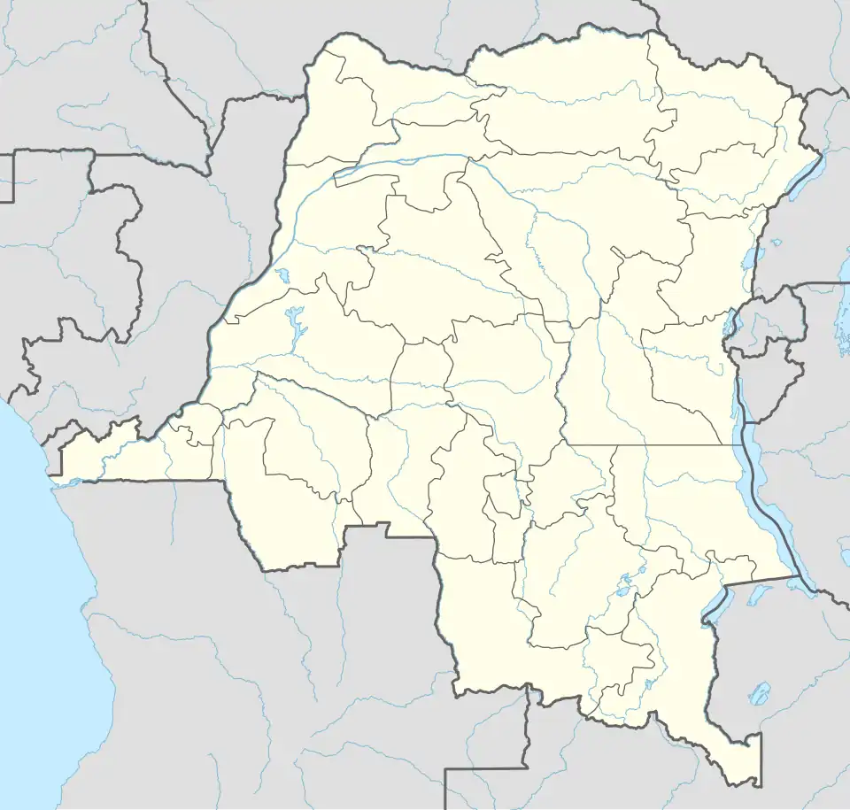 FZBW Location of the airport in Democratic Republic of the Congo | |||||||||||
| Runways | |||||||||||
| |||||||||||
Basengele Airport (ICAO: FZBW) is an airstrip serving the village of Bokote in Mai-Ndombe Province, Democratic Republic of the Congo.
See also
 Democratic Republic of the Congo portal
 Aviation portal
- List of airports in the Democratic Republic of the Congo
References
- ^ Airport information for FZBW at Great Circle Mapper.
- ^ Google Maps - Basengele